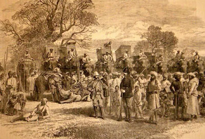
Corbett Tiger Reserve (CTR), originally established as Hailey National Park in 1936, is a jewel in the crown of India's wildlife conservation efforts. Located in the Nainital district of Uttarakhand, CTR is not only the first national park in India, but also the first to come under the Project Tiger initiative.
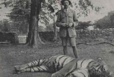
Renamed in honor of Jim Corbett in 1956, a hunter-turned-naturalist who played a crucial role in its establishment, the park is a living testament to conservation success.
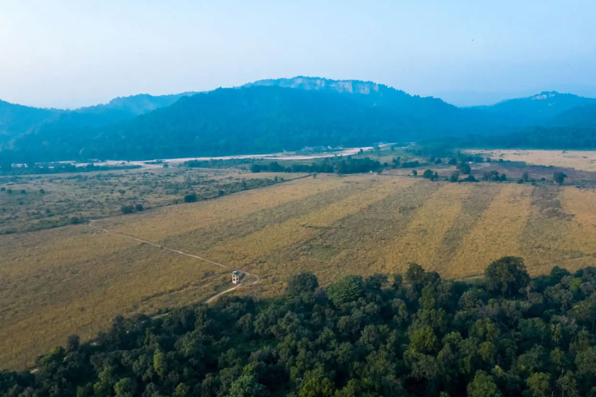
Covering 1288.31 sq.km., the reserve's diverse landscape includes hills, riverine area grasslands, and a large waterbody. It has an elevation range of 1,300 to 4,000 feet and features sub-Himalayan ecological characteristics.
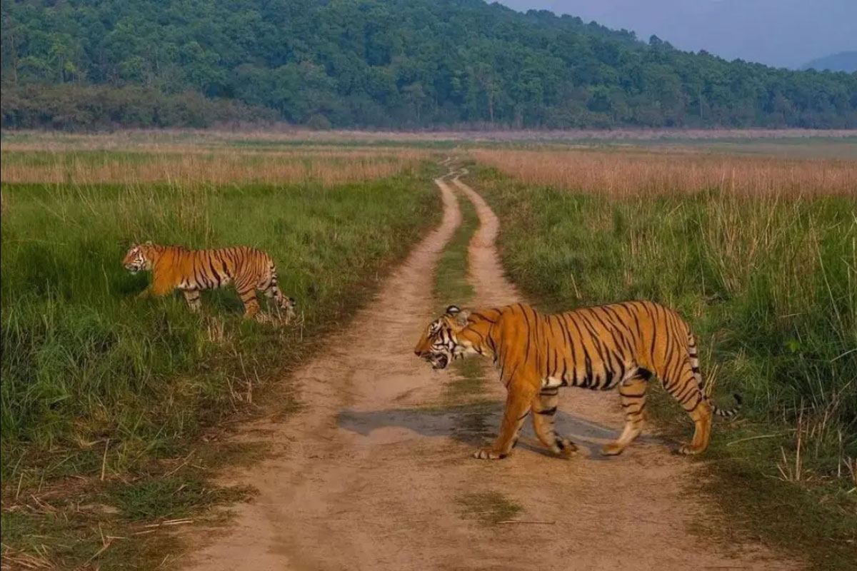
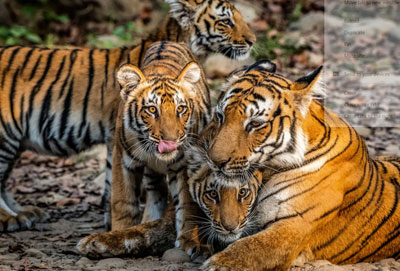
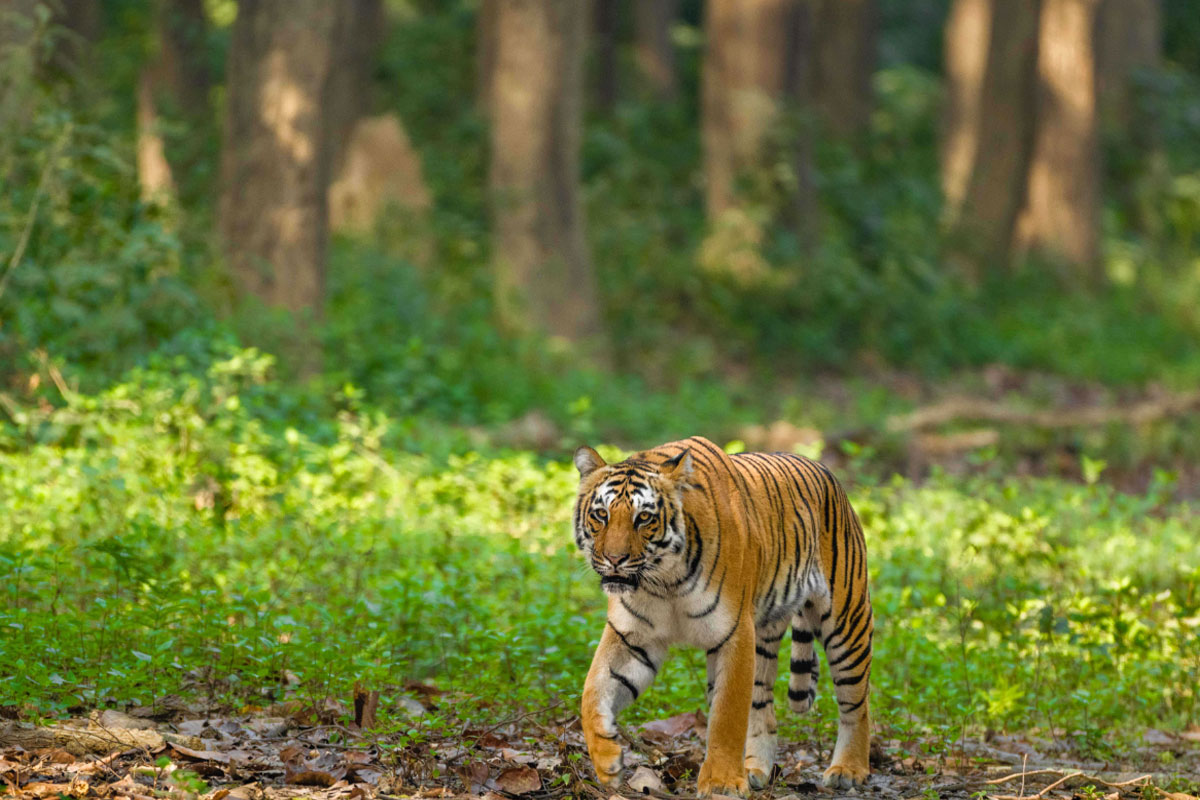
Home to 617 plant species, 50 mammal species, 580 bird species and 25 reptile species, the park is a biodiversity hotspot. It is renowned for having the world's highest density of tigers.
Corbett Tiger Reserve is a popular ecotourism destination, attracting nature enthusiasts from around the globe. At the same time, an increase in tourist activities presents ongoing challenges to the park's management and its ecological balance. While the park is a symbol of successful wildlife conservation, rising anthropogenic pressures continue to pose a threat to its fragile ecosystem.
Therefore, responsible and sustainable tourism is more critical than ever, as it minimizes negative economic, environmental and social impacts; makes positive contributions to the conservation of natural and cultural heritage, to the maintenance of the world's diversity and provides more enjoyable experiences for tourists through more meaningful connections with nature and wildlife.
40% of Corbett Tiger Reserve’s forests are dominated by Sal. Some sizable patches of pure Sal are found especially between Dhangarhi and Dhikala, and along the slopes of the reserve’s northern boundary.
Occurs along the southern slopes of the Shivaliks. It consists of Sal, Asan Saj or Indian Laurel, Kumbhi or Wild Guava, Chironji Tree, Dhauri or Crape Myrtle, Godambi or the dhobi nut tree and the Jamun.
These are found in the floodplains and along the rivers, on the sots and on raised areas near river beds. They predominantly comprise of Khair and Shisham. Moist riverine forests also have evergreen trees such as the Fig tree, Amaltas, Jamun, Rohini, Chamrod, and the Murraya or the Curry Leaf Tree.
This type commonly occurs along the slopes of the Siwalik Hills, southwards from Dhikala where the soil moisture is low.
These are found in several patches in the reserve. The dominant trees here are Sal, Silk Cotton Tree, Rohini or the Monkey face tree, Haldu, Dhauri or Crape Myrtle and Sisham.
The Grassland habitats are characterized by open meadows (chaurs) interspersed with Sal and moist mixed deciduous forests. The grasslands are locally known as ‘Chaur’, which are an outcome of abandoned settlements or past clearings. There are several important chaurs abundant in wildlife: Dhikala, Phulai, Khinnanauli, Paterpani, Mohanpani, Bhadhai and Bijrani. Such grasslands constitute almost 20% of the old National Park area of the core. Owing to their anthropogenic origin, these meadows are gradually getting colonized by gregarious woody species. The grasslands usually occur in succession and progressively change into shrub lands, woodlands and forest.
Floodplain grasslands grow in areas temporarily inundated by rivers. For example, the grasses at the water’s edge, at the Ramganga Reservoir.
Open grasslands, are those that were previously cultivated fields. For example, the Dhikala chaur, Jhirna, Dhela Chaur etc. are all open grasslands.
Wooded grasslands and Grassy patches are coarse grasses that are found in the undergrowth. They also occur throughout the upper slopes of the Shivalik hills where soil is shallow and the canopy cover is sparse. Throughout most of the year, such places remain devoid of any vegetation after the grasses dry up.
1860s: The Buksas, a tribe from the Terai region, initially settled on the land and began farming. However, they were evicted following the advent of British colonial rule in India.
1879: The forests are constituted into a reserve forest where restricted felling of trees is permitted. One of the earliest conservation efforts in the area.
Early 1900s: Several British conservationists, including E. R. Stevans and E. A. Smythies, propose the creation of a National Park on the land.
1907: The British colonial administration gives serious consideration to the idea of creating a game reserve in the area.
1930s: The demarcation process for the national park gets underway. This involves mapping and setting boundaries for the park.
(Second World War): The park suffers from excessive poaching and illegal timber cutting, largely due to the chaos and resource needs of World War II.
1954-1955 The park is renamed Ramganga National Park.
1956 After the death of famous hunter turned conservationist Jim Corbett, the park is renamed in his honor as Corbett National Park.
1966 The area of the park is expanded to 520.82 sq.km, incorporating more forest areas.
1972 The Indian Wildlife Protection Act is enacted, providing a legal framework towards the protection of wildlife and their habitats.
April 1, 1973: Corbett National Park becomes the launch site for "Project Tiger," a significant conservation project aimed at protecting tigers in India.
1974: The park is chosen as the location for launching the Project Tiger wildlife conservation initiative.
1991 An additional 797.72 sq.km is added as a buffer zone to Corbett Tiger Reserve,
which includes the301.18 sq.km area of Sonanadi Wildlife Sanctuary.
The park and surrounding areas are collectively referred to as the Corbett Tiger Reserve.
February 26, 2010 The Government of Uttarakhand, following recommendations from the
National Tiger Conservation Authority (NTCA), officially designates the area as Corbett Tiger
Reserve.
The total area is now 1288.31 sq.km, with 821 sq.km designated as the core-critical area and the
remaining
designated as the buffer zone.